
Current Live Forest Wildfire & Smoke Map in Kansas City Missouri Today
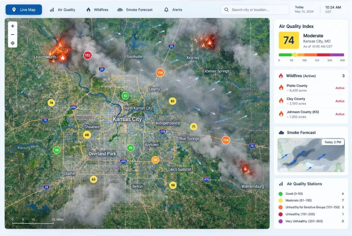
Free tools from AirNow, NOAA, and the Mid-America Regional Council’s air quality program show Kansas City’s live smoke picture. Here’s what most guides won’t tell you: the smoke usually starts hundreds of miles away. We’re an air filter specialist, not a weather service. One of the most common calls we get is from homeowners with … Read more